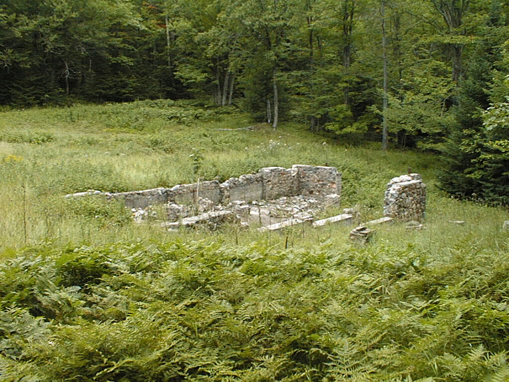
Photo 1a: Settlement Foundations
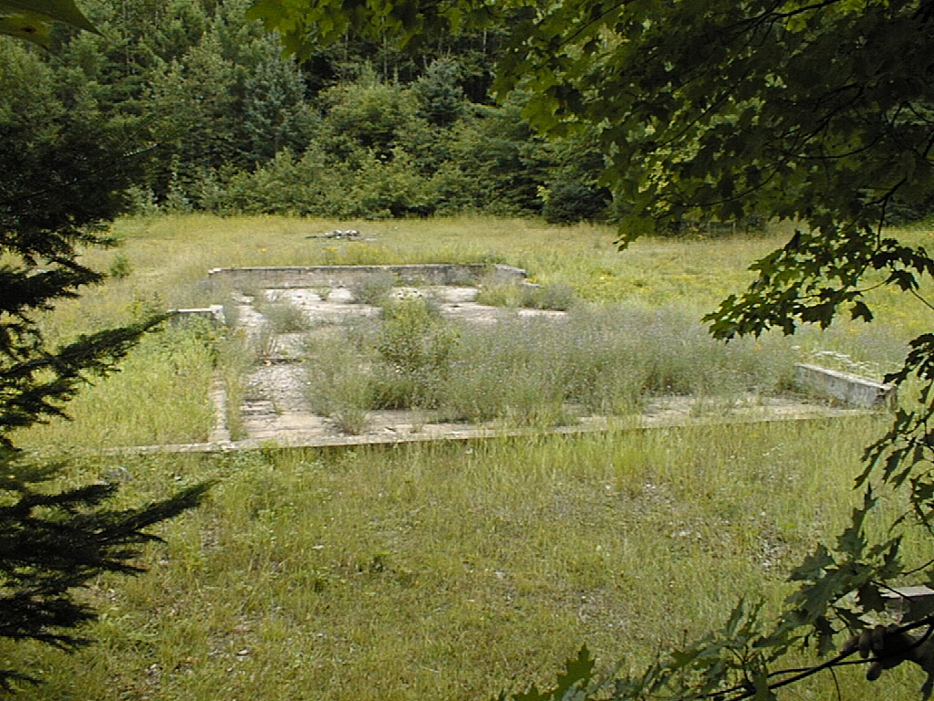
Photo 1b: Settlement Foundations
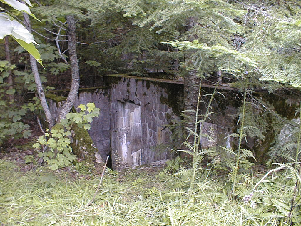
Photo 1c: Settlement Foundations
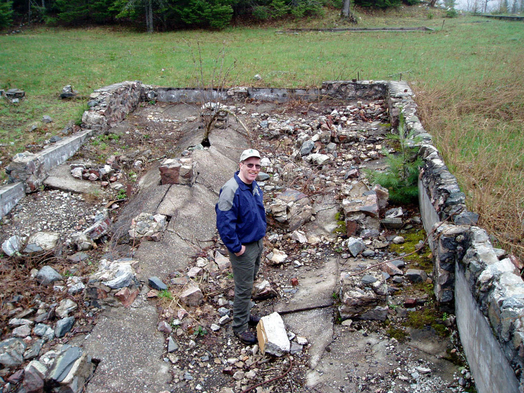
Photo 1d: Settlement Stable
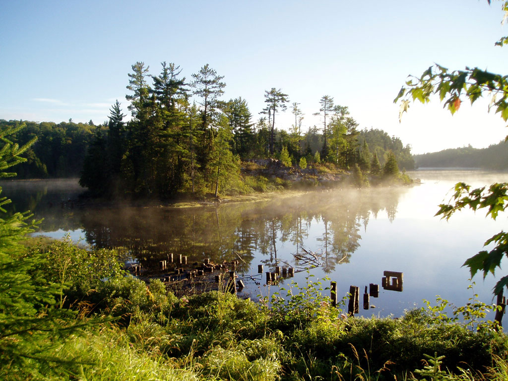
Photo 2: Island Foundations
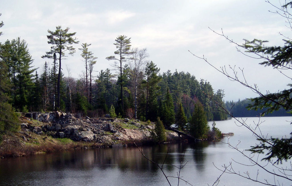
Photo 2a: Island w/ Fortress in background.
Photo 2b: Island from a canoe.
Photo 2c: Whitedeer in a mood
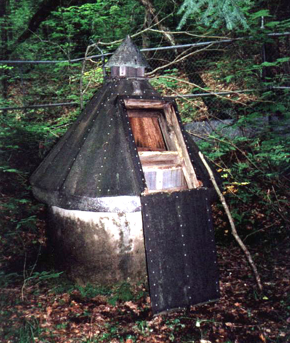
Photo 3: Artesian Well

Photo 4: Pump House(north side)
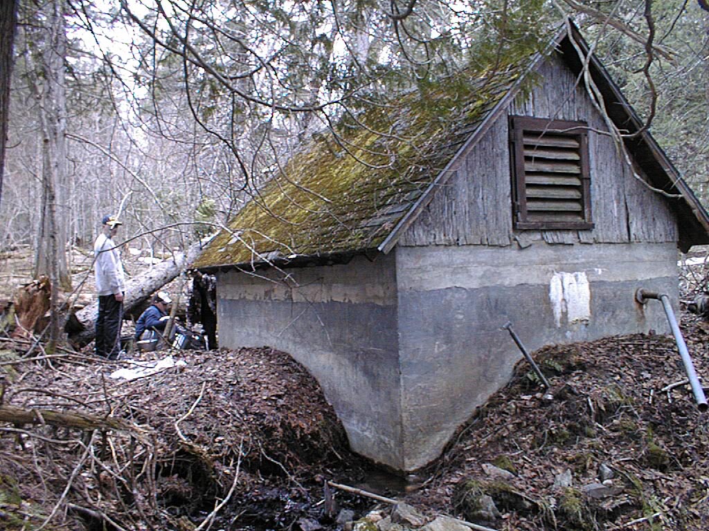
Photo 4a: Pump House(south side)
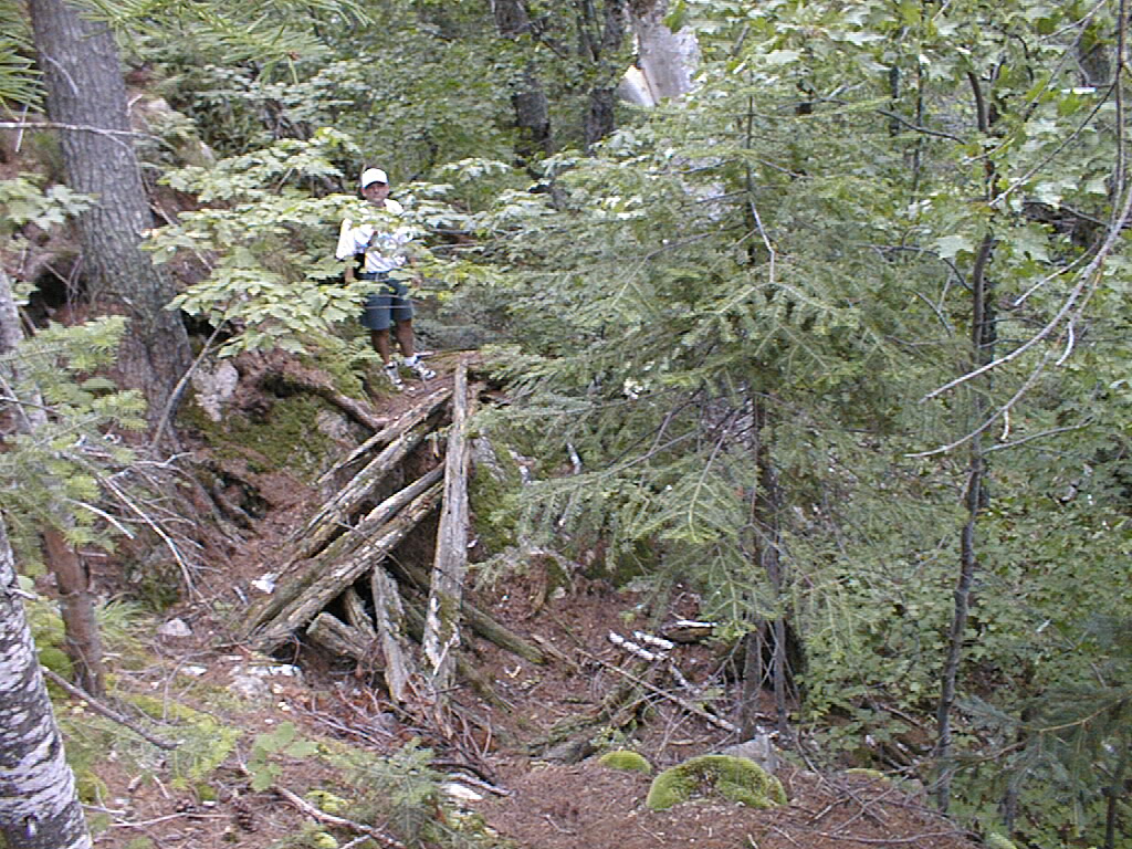
Photo 5a: Fortress Stairs

Photo 5b: Fortress Picinic Table & BB Pit
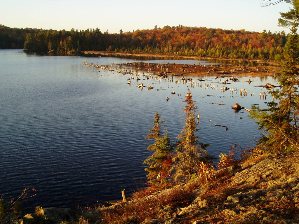
Photo 6: Walkway Pylons
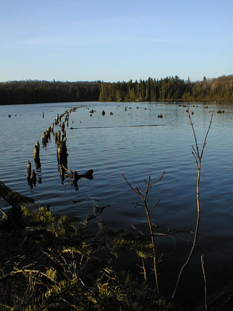
Photo 6a: Walkway Pylons
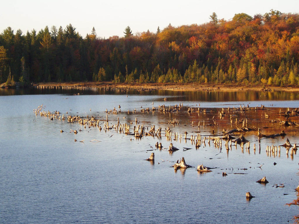
Photo 6b: Walkway Pylons in the Fall

Photo 7a: Dam - Crack
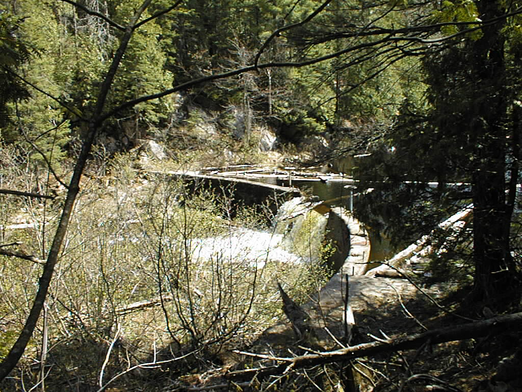
Photo 7b: Dam - Front

Photo 7c: Dam - Back
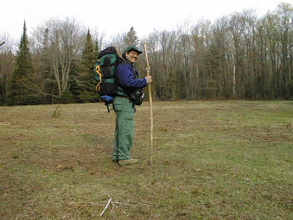
Photo 8: Logging Settlement Site on Bulldog & Author
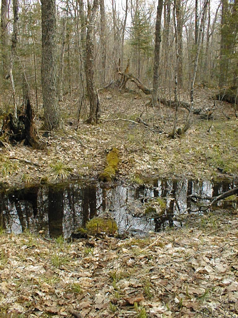
Photo 9: Bridge on the Bentley Trail
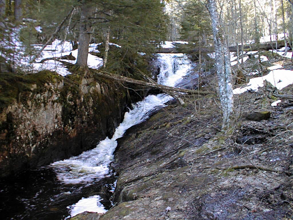
Photo 11: West Branch of the Yellow Dog Falls
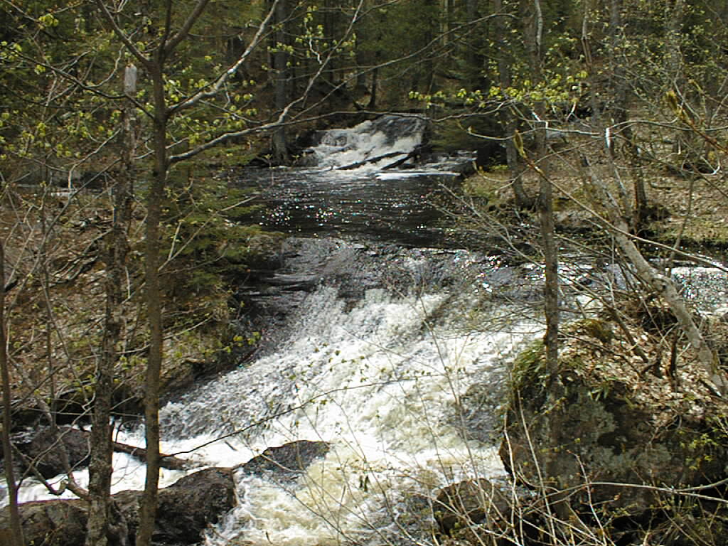
Photo 12: Top of the Bulldog Falls
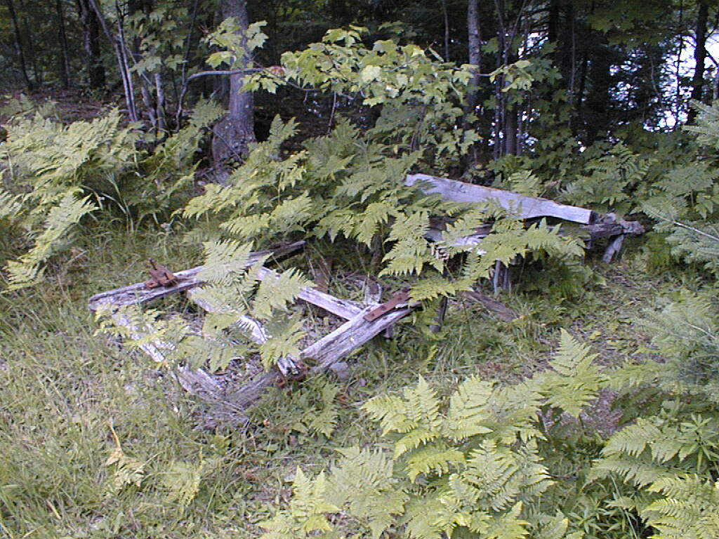
Photo 13: Old Horse drawn sled
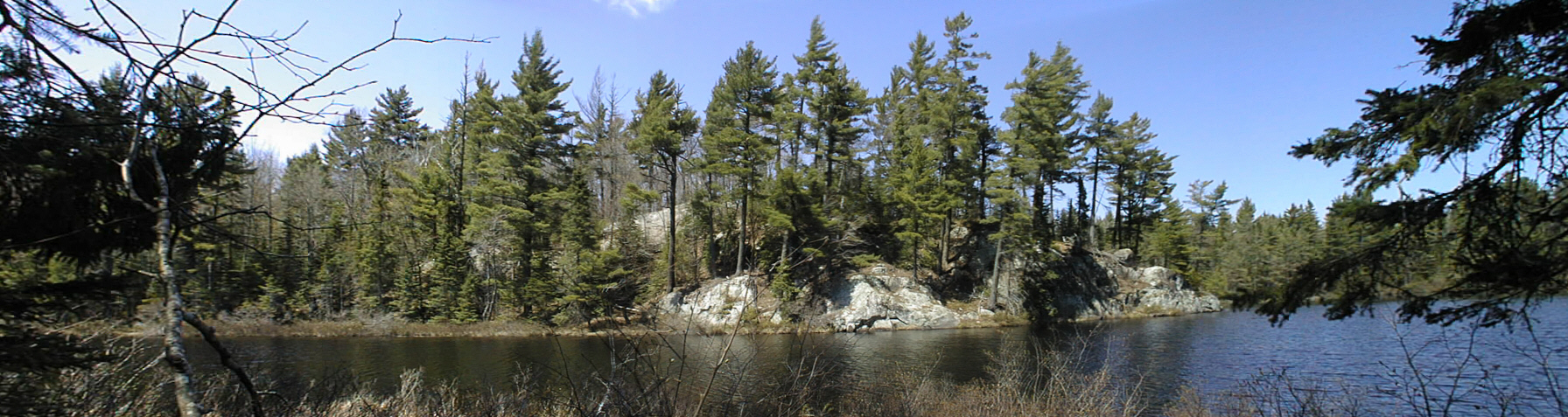
Photo 14: Island Lake across from narrows
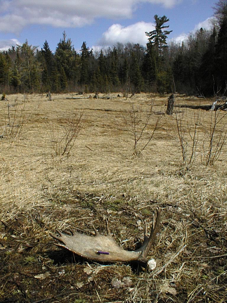
Photo 15: Moose Shed found in 2002 on a through hike
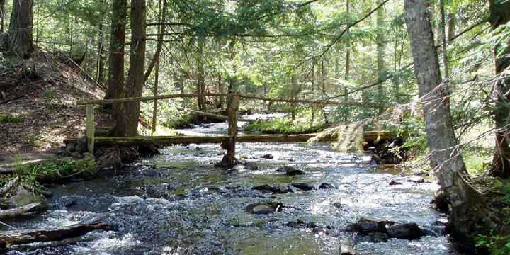
Photo 16: A Bridge on a side trail off the Bentley Trail.

Photo 17: Another Bridge View
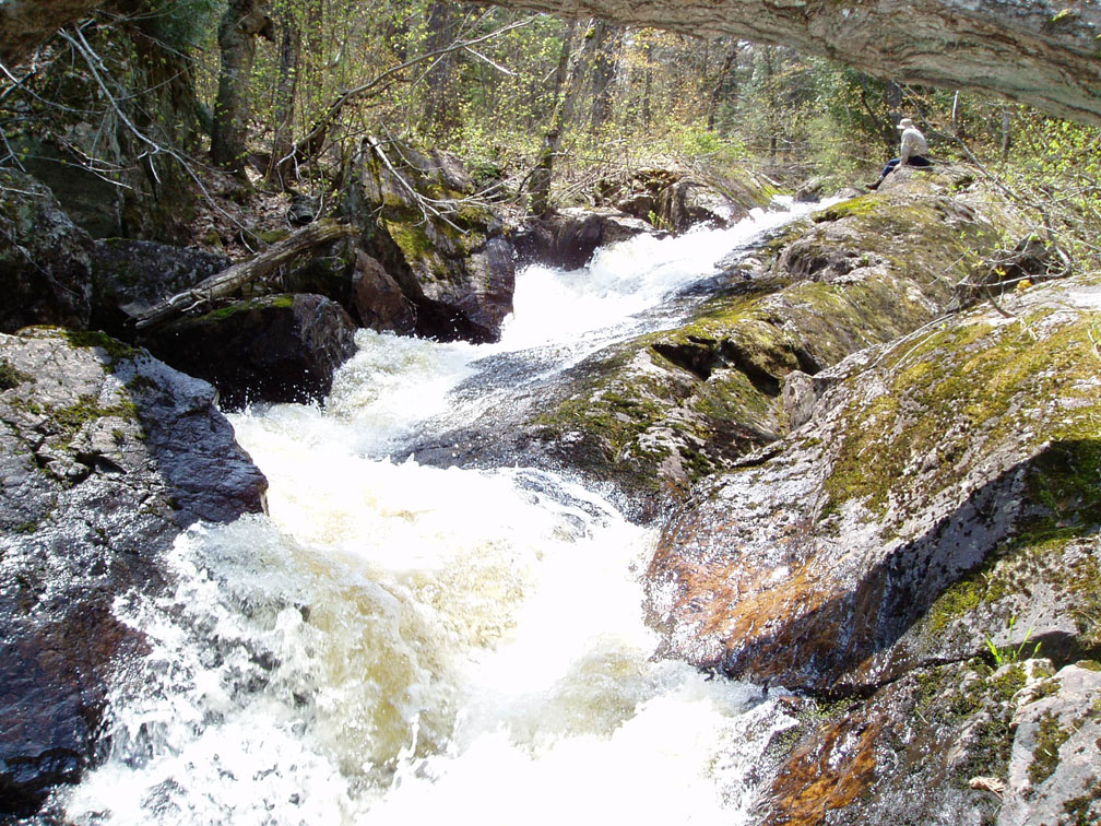
Photo 18: Contemplation on the Yellow Dog

Photo 19: Loons on Bulldog Lake
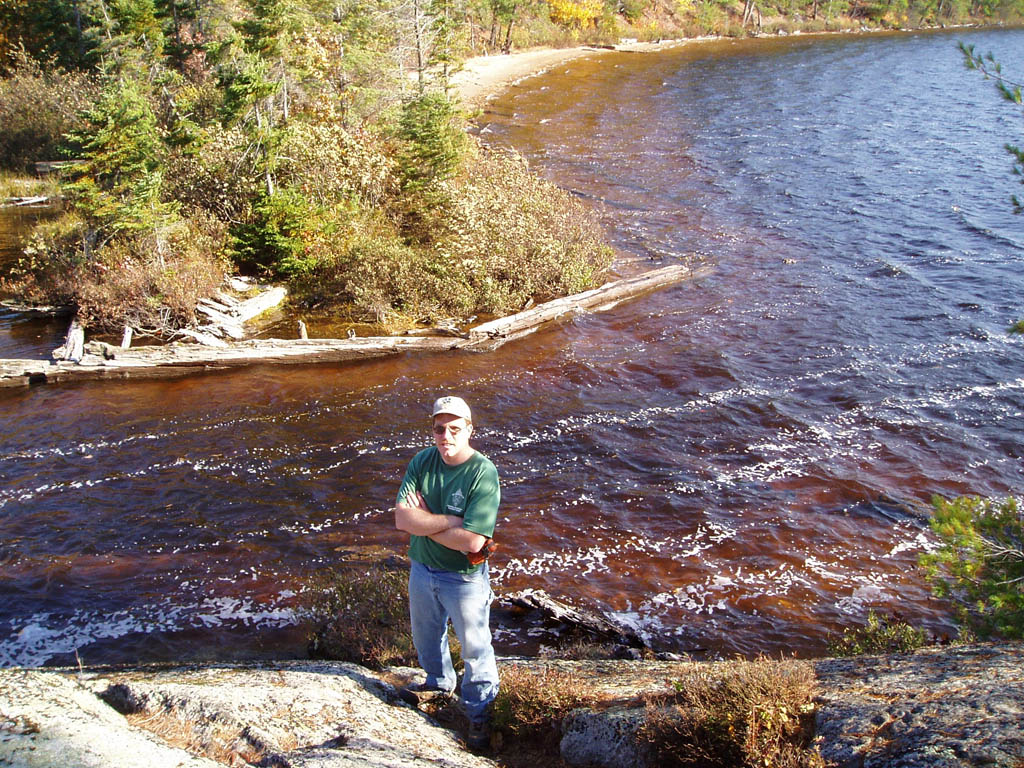
Photo 20: Bulldog Lake Channel
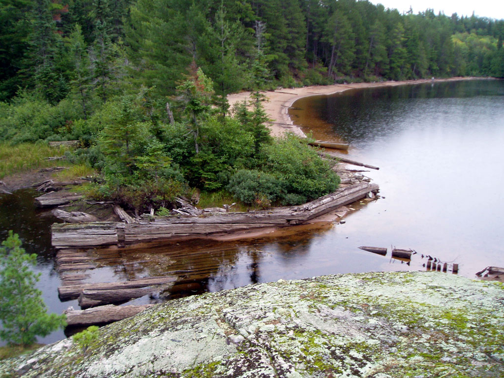
Photo 20a: Low water in Channel

Photo 21: Bulldog Lake Benchmark
An Except from the State of Michigan Survey records -
"5.9 Michigamme, 11.0 mi. N. and 6.5 mi. E. from, 2.0 mi. NE. along Lakes from McCormick Camp, near quarter corner between secs. 30 and 31, T. 50 N., R. 29 W., at N. end of Bulldog Lake, about 115 ft. NE. of boat dock, 30 ft. S. of S. edge of clearing, 6 ft. W. of foot trail, in rock ledge near top of bank of lake; standard tablet stamped "26 RC 1951 1751" 1750.532"
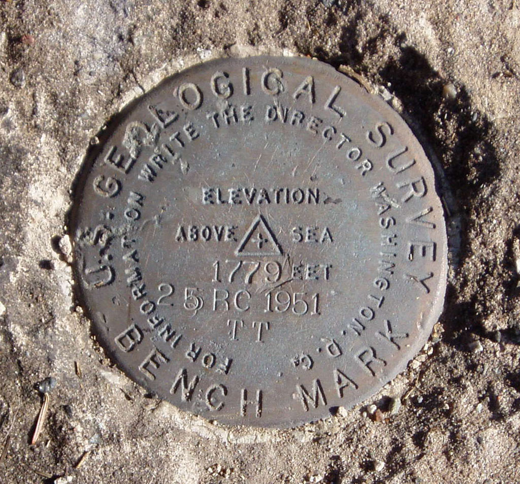
Photo 22: Whitedeer Lake Benchmark
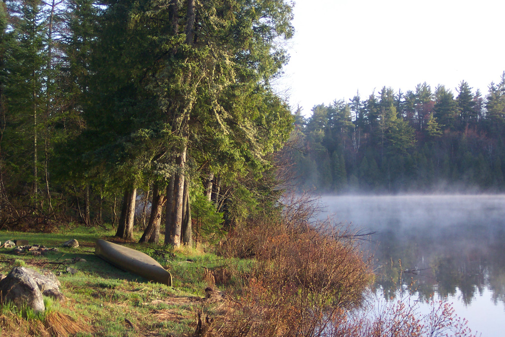
Photo 23: Whitedeer Lake at sunrise.
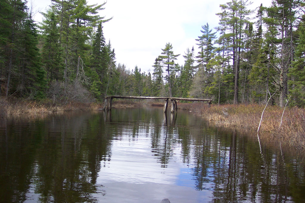
Photo 24: Lake Margaret Bridge
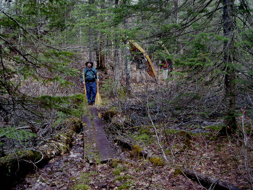
Photo 25: Lake Margaret Portage from Bulldog.

Photo 26: Lake Margaret Portage with Bulldog Lake in the distance.
Note portage along leftside of the creek.
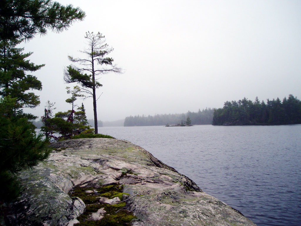
Photo 27: Lake Margaret
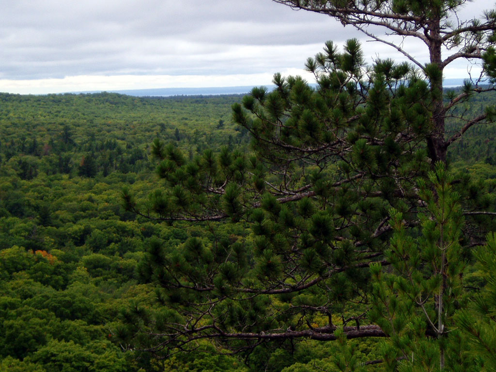
Photo 28: View from the Crows Nest with the Keweenaw on horizon